Portsmouth
Portsmouth city park shoreline
- Tidal river
- Shoreline
Urban tidal-river access with parking, restrooms, and level ground — a practical after-work or with-kids option.
- Parking
- free
- Restrooms
- Yes
- Fee or permit
- Not typically
- Night access
- false
Overview
Brackish river water near bridge structure produces a mixed bag. Convenience is the real feature here: short walk, level ground, and easy setup.
Getting there
City park shoreline with a ramp nearby. Park hours apply; confirm current hours with the city.
Use marked park parking and follow posted park hours.
Verify current access, hours, fees, closures, and regulations with official sources before you go.
Parking & amenities
- Free parking
- Restrooms
- Picnic tables
- Boat ramp nearby
- Paved paths
Paved paths and level shoreline sections make this a strong accessible option.
Reading the water
Tide stage for this kind of water
Moving water at bends and creek mouths
From: Reading tides without overthinking themExposure
Sheltered urban river; comfortable in most conditions.
Wind against tide, and when to turn aroundToday here
The full instrument and the week ahead- Acquiring NOAA tide predictions, station 8638660
- Requesting the NWS hourly forecast
- Computing sunrise, sunset, and civil twilight
Safety considerations
Noted for this spot
- Boat wake along the shoreline
- Watch footing on riprap sections
- Park closes at posted hours
General to shoreline and park and boat ramp access
- Riprap and oyster shell are sharp, slick, and uneven; wear footwear with grip and keep hands out of the shell. Casting safely
- Boat and ship wake arrives without warning on the rivers and the Bay front — stand back from the edge when traffic passes. Kayak and boating safety basics
- Park gates close at posted hours and the rules on shoreline fishing vary by park — confirm both before an evening trip. License, regulations, and trip planning
- Required safety equipment depends on vessel type and length; confirm with the U.S. Coast Guard, file a float plan, and check the marine forecast. Kayak and boating safety basics
- Wind against tide stacks up short, steep chop in the channels and at the inlets — far worse than the wind number alone suggests. Weather awareness for coastal anglers
Species documented here
All species in Portsmouth


Other water nearby
Similar spots in this part of the coast
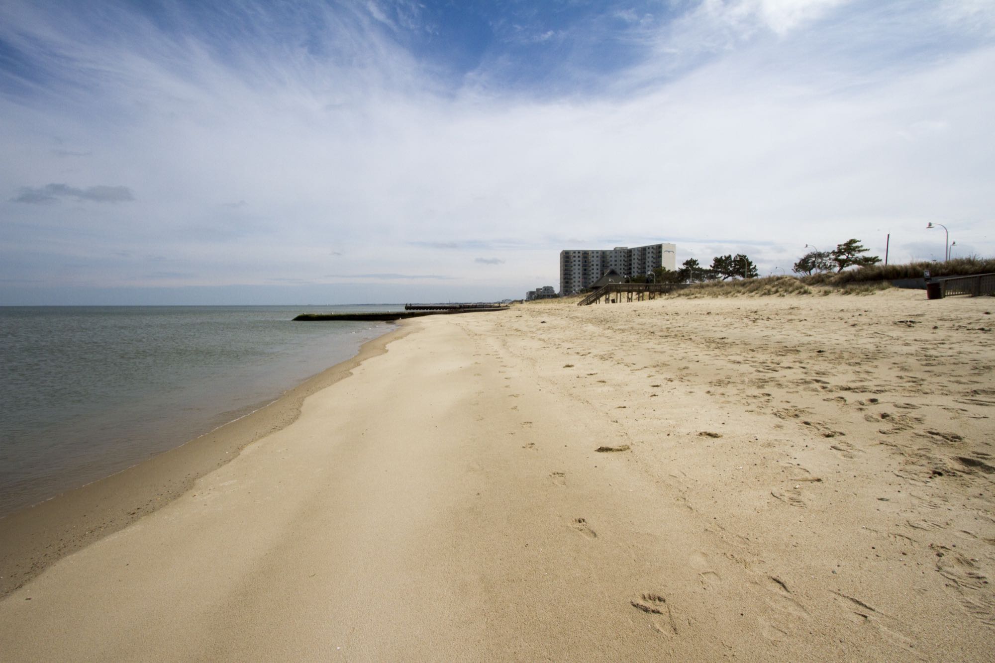
Photo Patrick Bloodgood / U.S. Army Corps of Engineers, Norfolk District, Public domain
ShorelineBeachWilloughby Spit shoreline
Narrow Bay-front spit near major structure — walkable shoreline with surprising depth close to the beach.
4 speciesFamily-friendly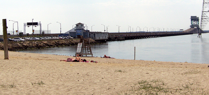
Photo Mytwocents, CC BY-SA 3.0
Fishing pierShorelineJames River pier & shoreline
Long tidal-river pier reaching out over deep water, mixing saltwater panfish with tidal-river species.
5 speciesFamily-friendlyAccessible featuresRestrooms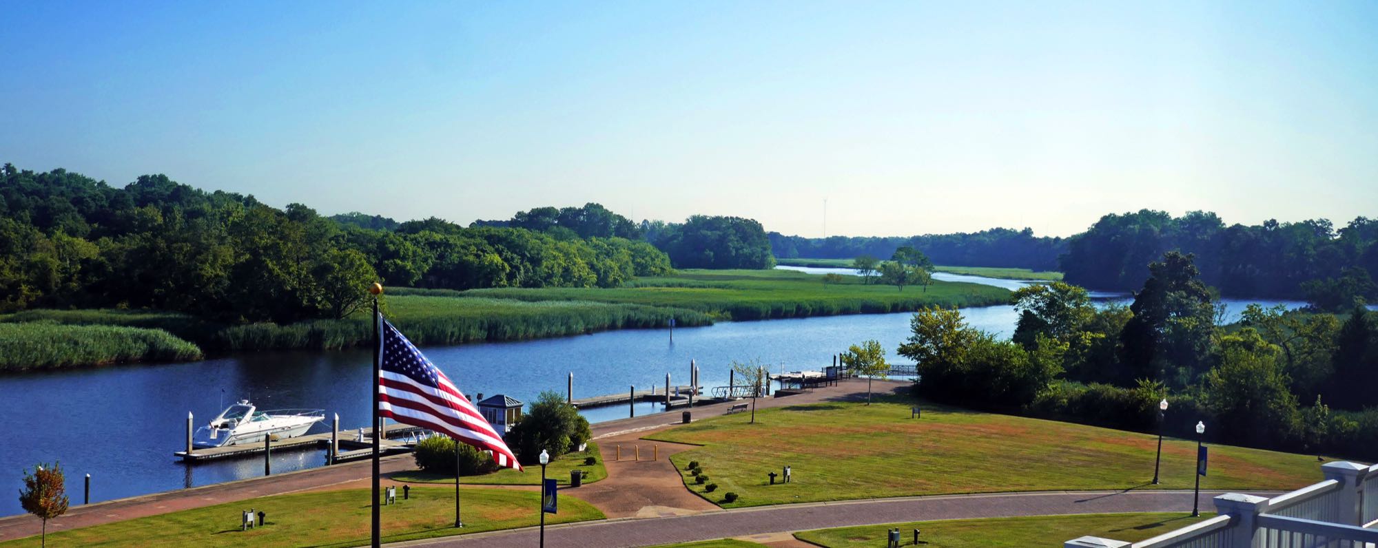
Photo Calstanhope, CC BY-SA 4.0
ShorelineKayak launchBennett's Creek Park — Nansemond River
A free, 56.8-acre city park with three boat ramps and an ADA-accessible crabbing/fishing pier on Bennett's Creek, a Nansemond River tributary — a shaded bend past the second bridge holds fish through the July heat when everywhere else goes dead.
2 speciesFamily-friendlyAccessible features


