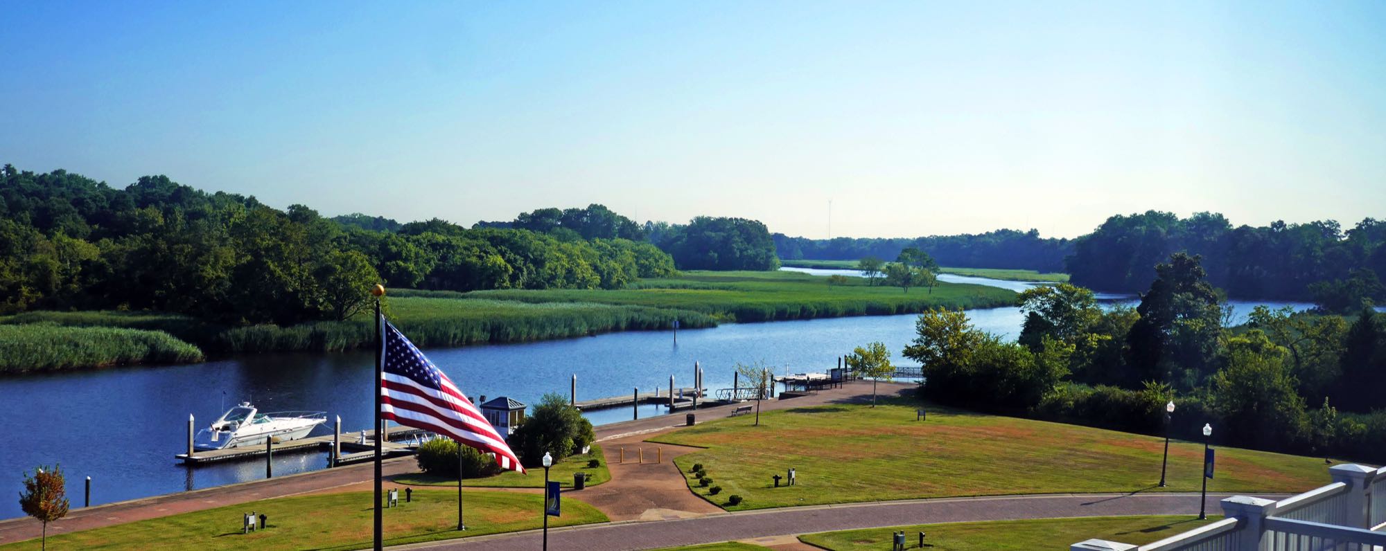
A dock on the Nansemond River near Bennett's Creek.
Photo: Calstanhope — CC BY-SA 4.0 — verified 2026-08-08
Suffolk
Bennett's Creek Park — Nansemond River
- Nansemond River
- Bennett's Creek
- Shoreline
A free, 56.8-acre city park with three boat ramps and an ADA-accessible crabbing/fishing pier on Bennett's Creek, a Nansemond River tributary — a shaded bend past the second bridge holds fish through the July heat when everywhere else goes dead.
- Parking
- paid
- Restrooms
- None on site
- Fee or permit
- Likely
- Night access
- false
Getting there
On-site park lot, 3000 Bennett's Creek Park Road, Suffolk. Free and open to the public — two of the three boat ramps have no launch fee.
Verify current access, hours, fees, closures, and regulations with official sources before you go.
Parking & amenities
- Open daily, dawn to dusk.
The crabbing/fishing pier is specifically ADA-accessible per the official park page.
Reading the water
Tide stage for this kind of water
Moving water at bends and creek mouths
From: Reading tides without overthinking themExposure
Sheltered tidal river — protected from ocean swell, but open to sustained wind along its length.
Wind against tide, and when to turn aroundToday here
The full instrument and the week ahead- Acquiring NOAA tide predictions
- Requesting the NWS hourly forecast
- Computing sunrise, sunset, and civil twilight
Safety considerations
Noted for this spot
- Watch for barge and workboat traffic near the river bends.
General to shoreline and kayak launch and boat ramp access
- Riprap and oyster shell are sharp, slick, and uneven; wear footwear with grip and keep hands out of the shell. Casting safely
- Boat and ship wake arrives without warning on the rivers and the Bay front — stand back from the edge when traffic passes. Kayak and boating safety basics
- Wear the life jacket from launch to landing; most fatal incidents involve one that was aboard but not worn. Kayak and boating safety basics
- Local water is cold enough to cause immediate breathing and grip loss for much of the year — dress for the water temperature. Kayak and boating safety basics
- Wind across open marsh and a falling tide can turn the paddle back into hard work; plan the return before you launch. Weather awareness for coastal anglers
- Required safety equipment depends on vessel type and length; confirm with the U.S. Coast Guard, file a float plan, and check the marine forecast. Kayak and boating safety basics
- Wind against tide stacks up short, steep chop in the channels and at the inlets — far worse than the wind number alone suggests. Weather awareness for coastal anglers
Species documented here
All species in Suffolk

Other water nearby
Similar spots in this part of the coast
- No verified photo yet36.75° N 76.63° WShorelineBoat ramp
Suffolk reservoir shoreline
Cypress-lined municipal reservoir water — quiet freshwater fishing with permit requirements and posted rules.
2 speciesFamily-friendly 
Photo Antony-22, CC BY-SA 4.0 (representative)
ShorelineKayak launchElizabeth River — Downtown Norfolk
Urban stripers around the piers and bridge pilings, best on the spring and fall runs.
2 speciesAccessible features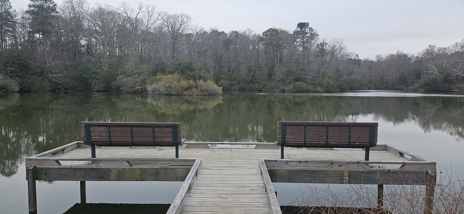
Photo OmegaFallon, CC BY 4.0
ShorelineKayak launchYork River State Park
Marsh-lined shoreline with easy kayak launch and steady summer bottom fishing.
3 speciesFamily-friendlyAccessible features

