Southern Flounder
Paralichthys lethostigma
The lower-salinity cousin of summer flounder — an occasional lower-Bay and tidal-creek catch without the summer flounder's ringed spots, more at home well upriver.
Typically present

- 1No ringed spots — only indistinct, diffuse spotting on a brownish upper body
- 2Eyes on the left — Both eyes on the left side of the head
Photo: NOAA/NMFS/SEFSC Pascagoula Laboratory (collection of Brandi Noble), National Oceanic and Atmospheric Administration — Public domain
- Habitat
- Marshes & creeks, Tidal rivers
- Methods
- Shore, Kayak
- Difficulty
- beginner
- Eating
- good
Identification
Look for
- Lacks the summer flounder's bold, eye-like (ocellated) spots — southern flounder shows only indistinct, diffuse spotting on a brownish upper body
- Fewer gill rakers on the lowermost gill arch (9-10) than summer flounder (15 or more) — a count only relevant if examining a specimen closely, not a glance-level field mark
- Both eyes on the left side of the head, same as summer flounder — this alone does not distinguish the two species
Tell them apart
Look first: Ringed spots mean summer flounder; diffuse blotches mean southern.
Southern Flounder

| Look at | Southern Flounder | |
|---|---|---|
| Spots | No ringed spots — diffuse dark blotches on a brownish upper side | Five or more distinct ringed (ocellated) spots, often five in a pattern toward the tail |
| Eyes | Both on the left side — not a tell | Both on the left side |
| Water | Lower-salinity creeks and rivers, often well upriver | Inlets, surf, channel edges, higher salinity |
| Gill rakers | About 9–10 — a hand-lens count, not a glance | About 15 or more on the lower arch |
Local waters
- Brackish tidal rivers and creeks
- Marsh edges
- More tolerant of low salinity than summer flounder, so found further upriver
Catchable both from shore (shore) and by boat (kayak).
When to fish
Warmer months, in brackish tidal rivers and creeks — a genuinely distinct species from the far more commonly encountered summer flounder, documented as an occasional visitor to the lower Chesapeake Bay rather than a routine catch.
Tide stage for this kind of water
Falling water at the creek mouths
From: Reading tides without overthinking themWater temperature
The water, not the calendar, sets the season here — a warm October or a cold snap moves these bands.
Water temperature and the seasonsHow to catch it
- Fished exactly like summer flounder — a minnow or strip bait dragged slowly with the current — but well up the tidal creeks and rivers where salinity drops.
- Give the fish a moment before lifting; both flounders grab the tail of a bait first.
Bait & lures
- Live mud minnows or finger mullet on a Carolina rig
- Bucktail tipped with Gulp! or a minnow
Rigs for southern flounder
All rigs- Sheet 09Bottombeginner
Fish-finder rig (Carolina style)
For flounder, red drum, black drum, channel catfish from inlet, river, bay, bridge.
FlounderRed DrumBlack Drum - Sheet 25Bottombeginner
Flounder rig (with stinger hook)
For flounder from inlet, bridge, bay, river.
Flounder - Sheet 10Lureintermediate
Bucktail jigging rig
For striped bass, flounder, bluefish, spanish mackerel from inlet, bridge, bay, offshore.
Striped BassFlounderBluefish
On the table
Indistinguishable from summer flounder on the plate — mild, lean, fine-flaked. Confirm current limits with VMRC.
- Documented as an occasional visitor to the lower Chesapeake Bay, Virginia — its core U.S. range runs Virginia to Texas, with North Carolina and points south the more consistent fishery. This project has not found a Virginia-specific southern flounder regulation distinct from summer flounder's own current size/possession rules — check VMRC's current saltwater regulations directly before harvesting, and do not assume the two species share identical limits without confirming.
Where to try
Water that suits southern flounder
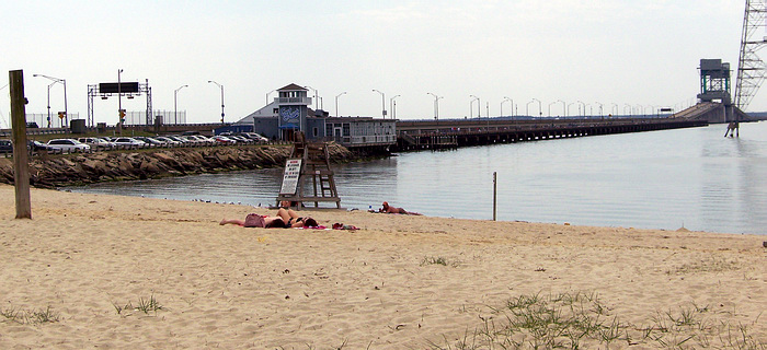
Photo Mytwocents, CC BY-SA 3.0
Fishing pierShorelineHabitat matchJames River pier & shoreline
Long tidal-river pier reaching out over deep water, mixing saltwater panfish with tidal-river species.
5 speciesFamily-friendlyAccessible featuresRestrooms- No verified photo yet37.11° N 76.32° WKayak launchShorelineHabitat match
Poquoson marsh kayak launch
Quiet grass-and-creek country for paddlers — shallow water, oyster bars, and very little boat pressure.
4 speciesFamily-friendly - No verified photo yet37.11° N 76.32° WBeachShorelineHabitat match
Grandview Nature Preserve shoreline
A long walk-in Bay shoreline backed by marsh — solitude, wading depth, and a genuinely wild feel inside the city.
5 speciesFamily-friendly - No verified photo yet36.82° N 76.29° WShorelineParkHabitat match
Portsmouth city park shoreline
Urban tidal-river access with parking, restrooms, and level ground — a practical after-work or with-kids option.
4 speciesFamily-friendlyAccessible featuresRestrooms 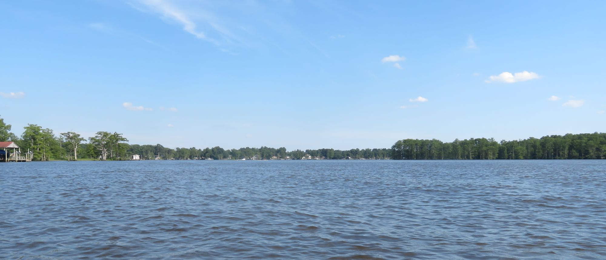
Photo David R. Bains, CC BY-SA 4.0 (representative)
ShorelineBoat rampHabitat matchChickahominy riverfront access
Tidal freshwater river with ramps, wide flats, and cypress shoreline — a strong bridge between fresh and brackish fishing.
3 speciesFamily-friendlyAccessible featuresRestrooms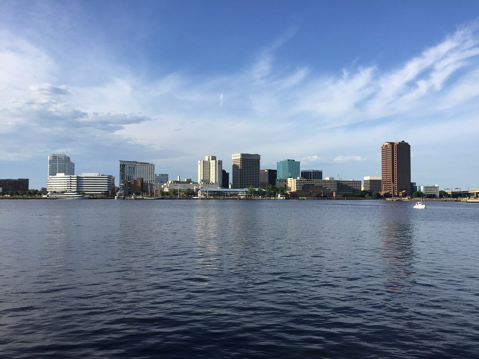
Photo Antony-22, CC BY-SA 4.0 (representative)
ShorelineKayak launchHabitat matchElizabeth River — Downtown Norfolk
Urban stripers around the piers and bridge pilings, best on the spring and fall runs.
2 speciesAccessible features


