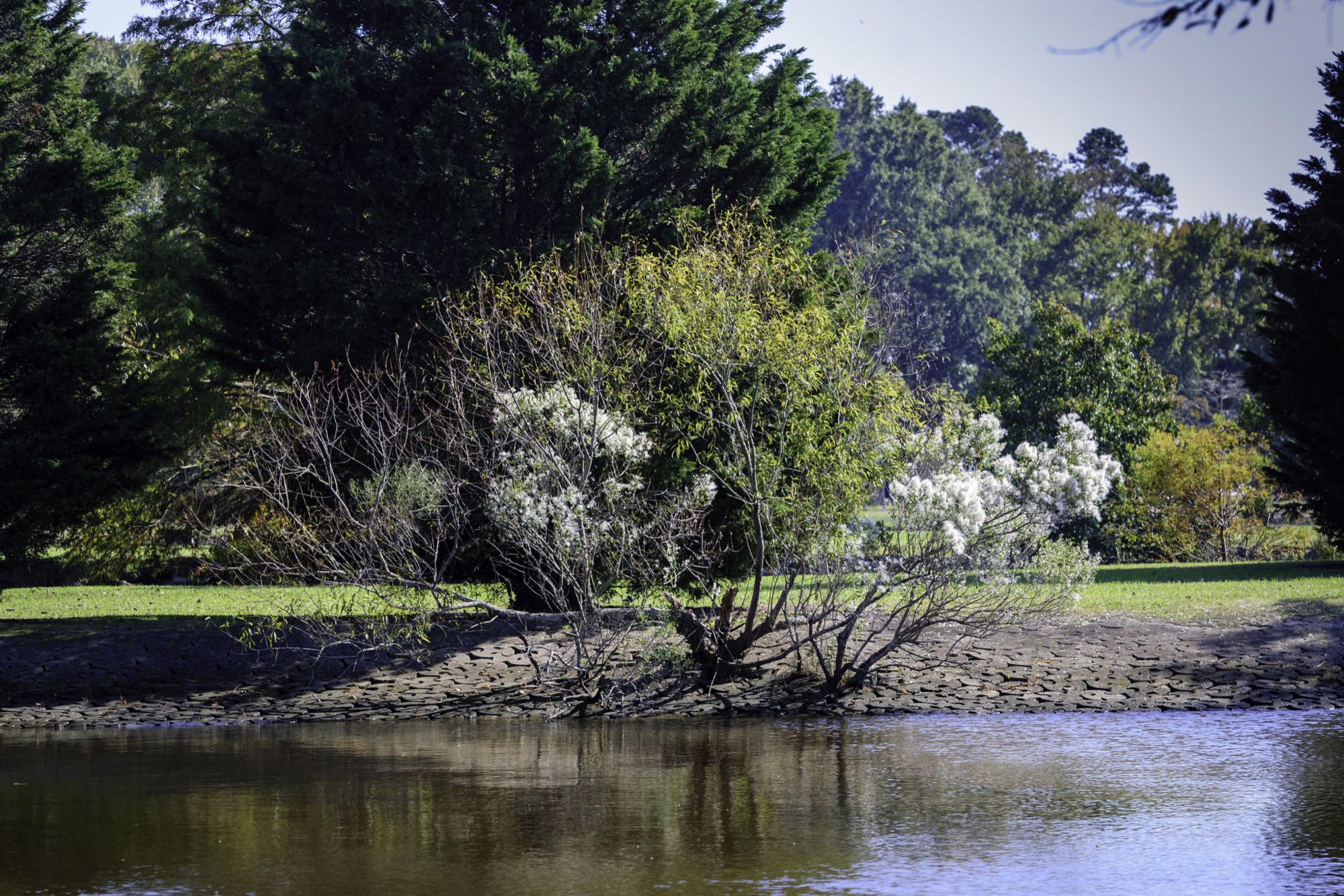
The creek shoreline at Munden Point Park.
Photo: Randy Everette — CC BY-SA 3.0 — verified 2026-08-24
Virginia Beach
Munden Point Park
- North Landing River
- Munden Point
- Kayak launch
Launch before sunrise — the grass line off the point holds bass until boat traffic picks up.
- Parking
- paid
- Restrooms
- None on site
- Fee or permit
- Likely
- Night access
- false
Getting there
Boat ramp launch fee may apply.
Verify current access, hours, fees, closures, and regulations with official sources before you go.
Parking & amenities
Paved ramp and lot.
Reading the water
Not tidal
No tide here — daylight, wind, and water temperature set the day. Bite Windows shows the forecast and daylight without a tide.
Exposure
Protected North Landing River frontage — one of the more wind-tolerant options when the coast is blown out.
Wind against tide, and when to turn aroundToday here
The full instrument and the week ahead- Acquiring NOAA tide predictions
- Requesting the NWS hourly forecast
- Computing sunrise, sunset, and civil twilight
Safety considerations
Noted for this spot
- Boat traffic gets busy midday in summer.
General to kayak launch and boat ramp access
- Wear the life jacket from launch to landing; most fatal incidents involve one that was aboard but not worn. Kayak and boating safety basics
- Local water is cold enough to cause immediate breathing and grip loss for much of the year — dress for the water temperature. Kayak and boating safety basics
- Wind across open marsh and a falling tide can turn the paddle back into hard work; plan the return before you launch. Weather awareness for coastal anglers
- Required safety equipment depends on vessel type and length; confirm with the U.S. Coast Guard, file a float plan, and check the marine forecast. Kayak and boating safety basics
- Wind against tide stacks up short, steep chop in the channels and at the inlets — far worse than the wind number alone suggests. Weather awareness for coastal anglers
Species documented here
All species in Virginia Beach

Other water nearby
Similar spots in this part of the coast
- No verified photo yet36.88° N 76.13° WShorelineKayak launch
Lake Smith & Lake Lawson
Reliable year-round freshwater — crappie stack up along the standing timber in spring.
2 speciesFamily-friendlyAccessible features 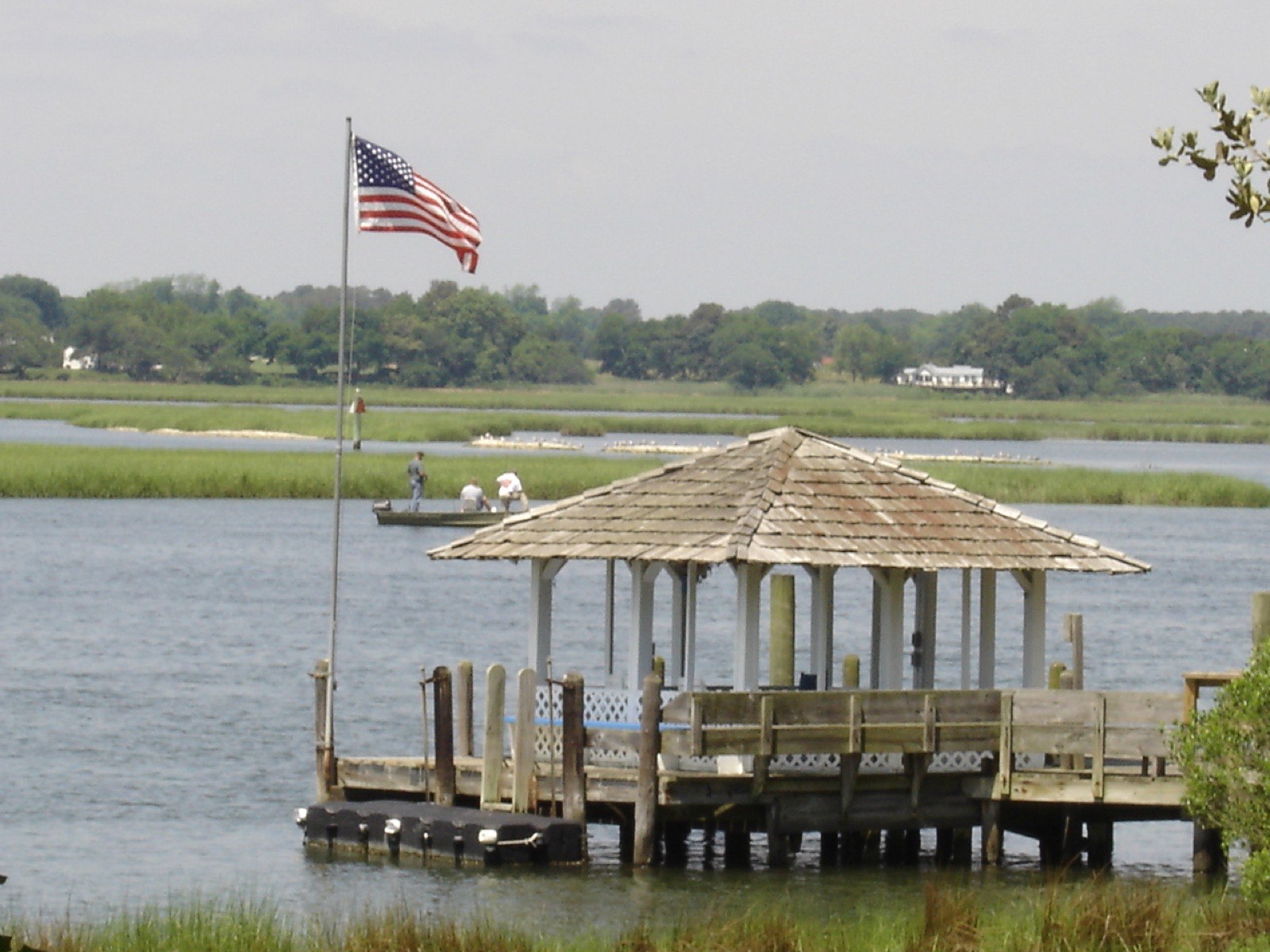
Photo BrandlandUSA, Public domain (representative)
ShorelineKayak launchLynnhaven Inlet — Boat Ramp & Beach Facility
The historic Lynnhaven Fishing Pier closed in 2017 and was sold — today's public access is the city's Lynnhaven Boat Ramp & Beach Facility, plus some bank fishing along the beach and riprap.
3 speciesAccessible features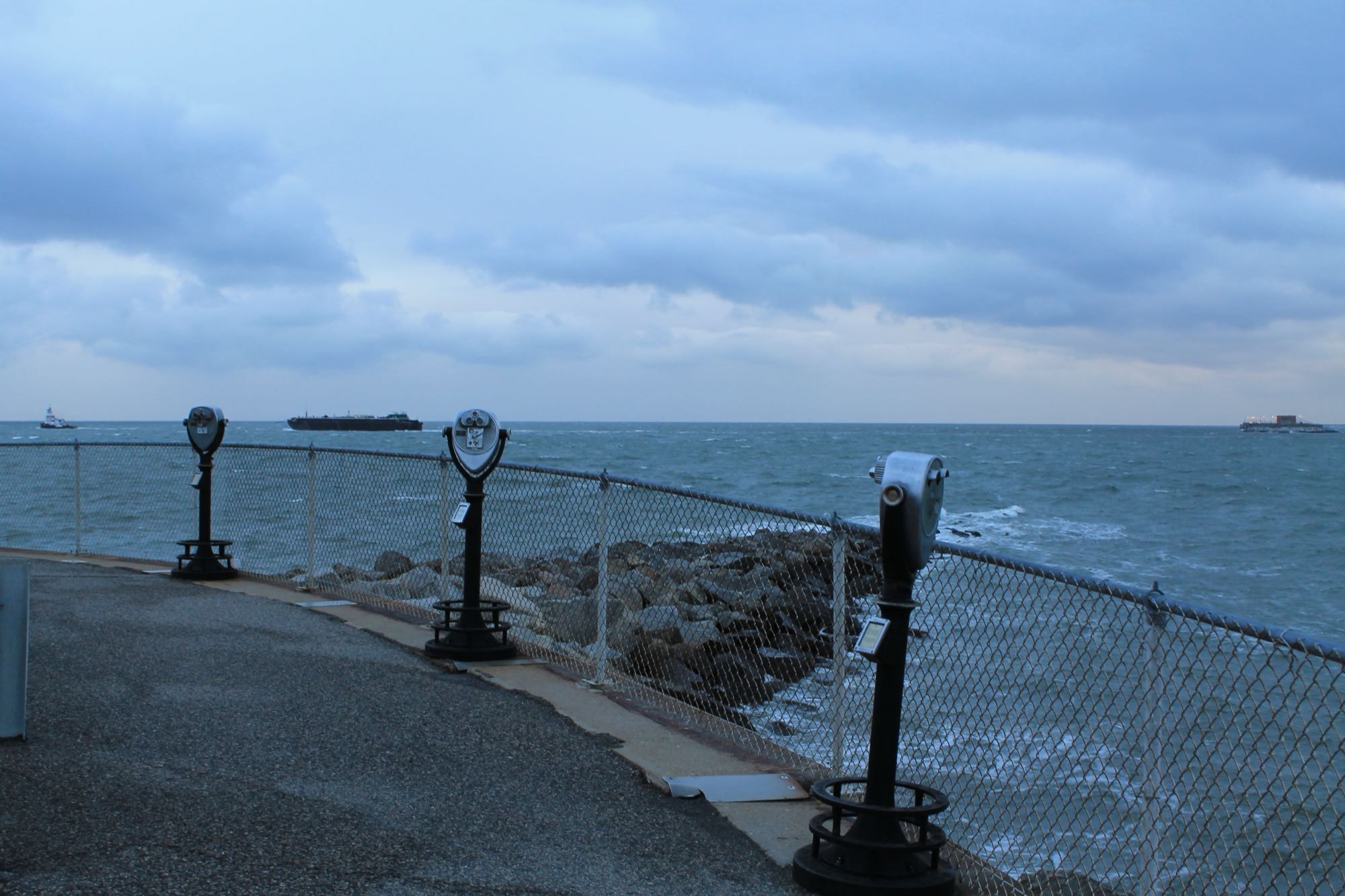
Photo Patrick Nouhailler, CC BY-SA 2.0 (representative)
Boat rampBay-mouth bridge structure (boat)
Miles of pilings, rubble, and channel edges at the Bay mouth — the region's premier structure fishery, boat access only.
6 species

