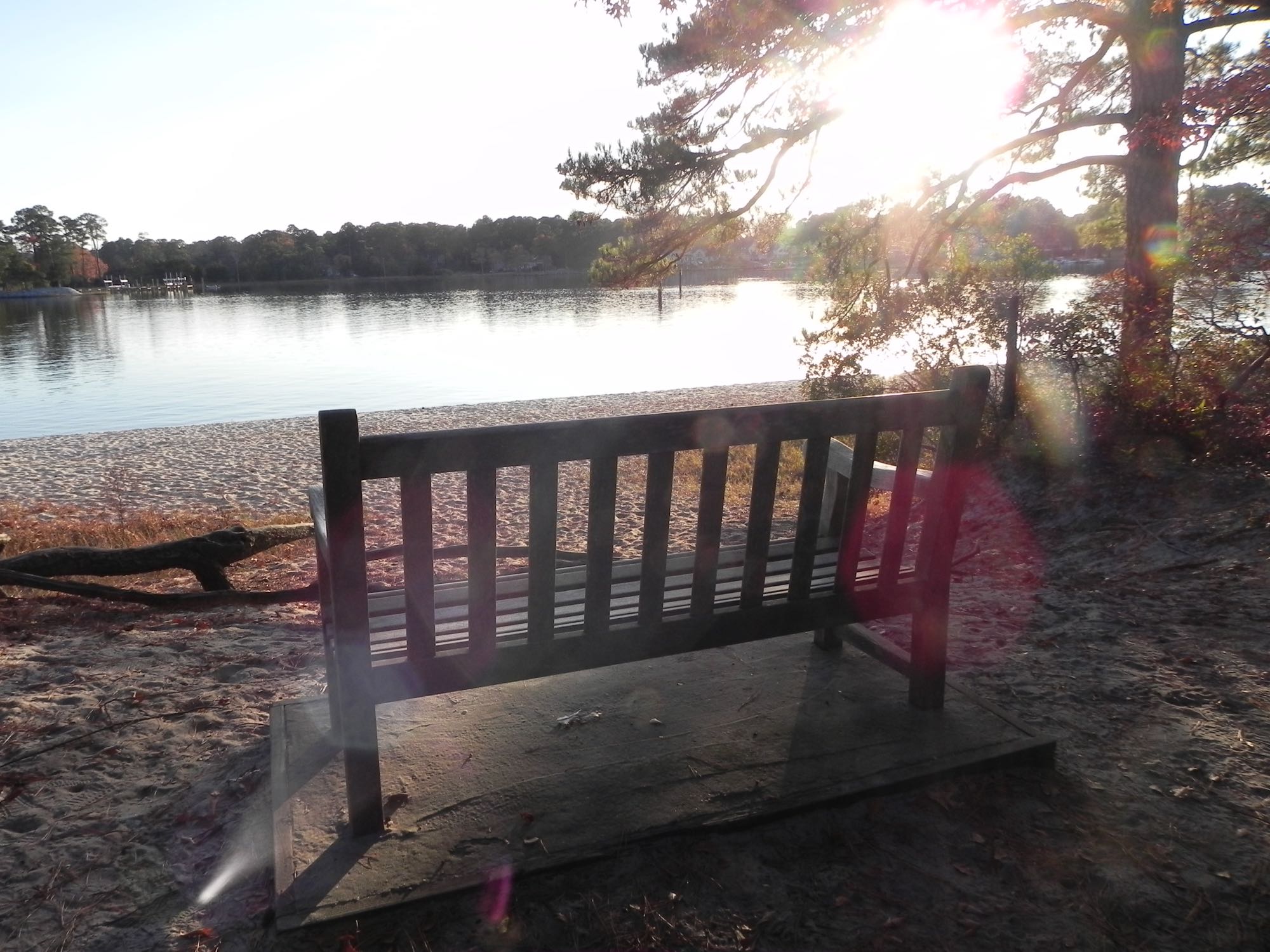
Broad Bay's shoreline at First Landing State Park.
Photo: Virginia State Parks staff, Virginia State Parks — CC BY 2.0 — verified 2026-08-24
Virginia Beach
First Landing — Broad Bay
- Broad Bay
- Shoreline
Grass flats inside the bay — good early-morning kayak water for trout and small drum.
- Parking
- paid
- Restrooms
- None on site
- Fee or permit
- Likely
- Night access
- false
Getting there
Virginia State Parks parking fee applies — check the current rate.
Verify current access, hours, fees, closures, and regulations with official sources before you go.
Parking & amenities
- Park hours vary by season.
Paved park roads; the grass-flat launch itself is unimproved.
Reading the water
Tide stage for this kind of water
Rising water on the shallow flats
From: Reading tides without overthinking themExposure
Broad Bay is largely protected by the surrounding shoreline; the open Bay front nearby is far more exposed.
Wind against tide, and when to turn aroundToday here
The full instrument and the week ahead- Acquiring NOAA tide predictions, station 8638923
- Requesting the NWS hourly forecast
- Computing sunrise, sunset, and civil twilight
Safety considerations
Noted for this spot
- Shallow flats — watch for oyster beds at low tide.
General to shoreline and kayak launch access
- Riprap and oyster shell are sharp, slick, and uneven; wear footwear with grip and keep hands out of the shell. Casting safely
- Boat and ship wake arrives without warning on the rivers and the Bay front — stand back from the edge when traffic passes. Kayak and boating safety basics
- Wear the life jacket from launch to landing; most fatal incidents involve one that was aboard but not worn. Kayak and boating safety basics
- Local water is cold enough to cause immediate breathing and grip loss for much of the year — dress for the water temperature. Kayak and boating safety basics
- Wind across open marsh and a falling tide can turn the paddle back into hard work; plan the return before you launch. Weather awareness for coastal anglers
Species documented here
All species in Virginia Beach
Other water nearby
Similar spots in this part of the coast
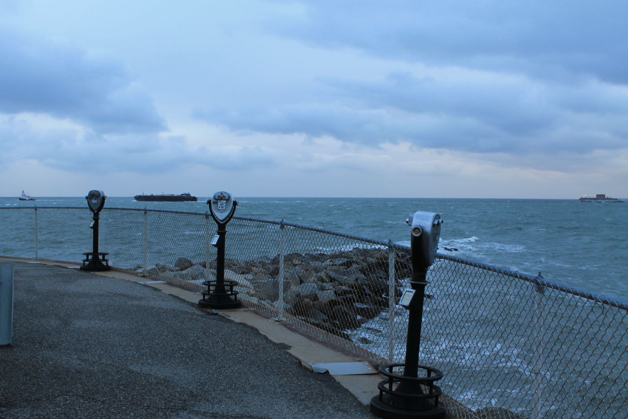
Photo Patrick Nouhailler, CC BY-SA 2.0 (representative)
Boat rampBay-mouth bridge structure (boat)
Miles of pilings, rubble, and channel edges at the Bay mouth — the region's premier structure fishery, boat access only.
6 species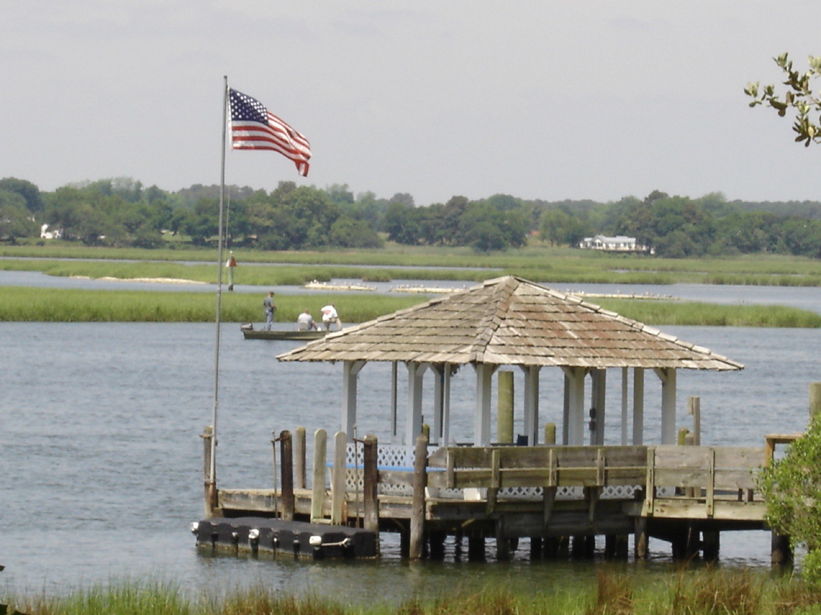
Photo BrandlandUSA, Public domain (representative)
ShorelineKayak launchLynnhaven Inlet — Boat Ramp & Beach Facility
The historic Lynnhaven Fishing Pier closed in 2017 and was sold — today's public access is the city's Lynnhaven Boat Ramp & Beach Facility, plus some bank fishing along the beach and riprap.
3 speciesAccessible features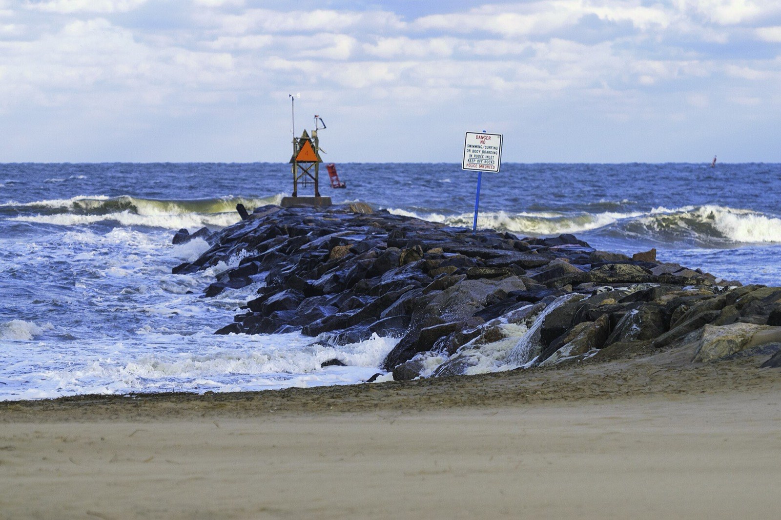
Photo PumpkinSky, CC BY-SA 3.0
ShorelineBeachRudee Inlet jetty & shoreline
Hard structure meeting ocean current — a technical spot that rewards anglers who read moving water.
6 speciesRestrooms


